Distance between 2 Distrito and Baixada
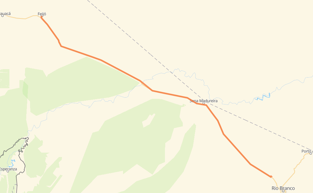
The distance from 2 Distrito to Baixada is 342 kilometers by road. Road takes approximately 3 hours and 57 minutes and goes through Sena Madureira, Chico Deco, Colonia Alto Alegre, Jaibara, Santa Luzia, São Francisco and São Raimundo.
| Shortest distance by air | 323 km ✈️ |
| Car route length | 342 km 🚗 |
| Driving time | 3 h 57 min |
| Fuel amount | 27.3 L |
| Fuel cost | 40.7 GBP |
| Point | Distance | Time | Fuel | |
| 2 Distrito | 0 km | 00 min | 0.0 L | |
|
BR-364 21 km, 15 min
|
||||
| Chico Deco | 21 km | 15 min | 0.4 L | |
|
BR-364 85 km, 59 min
|
||||
| Mira Flores | 106 km | 1 h 15 min | 5.5 L | |
|
BR-364 134 km, 1 h 31 min
|
||||
| Sena Madureira | 240 km | 2 h 46 min | 17.1 L | |
|
BR-364 60 km, 42 min
|
||||
| Sitio Universo Manifico | 300 km | 3 h 28 min | 23.1 L | |
|
BR-364 42 km, 28 min
|
||||
| Baixada | 342 km | 3 h 57 min | 27.2 L | |
Frequently Asked Questions
How much does it cost to drive from 2 Distrito to Baixada?
Fuel cost: 40.7 GBP
This fuel cost is calculated as: (Route length 342 km / 100 km) * (Fuel consumption 8 L/100 km) * (Fuel price 1.49 GBP / L)
You can adjust fuel consumption and fuel price here.
How long is a car ride from 2 Distrito to Baixada?
Driving time: 3 h 57 min
This time is calculated for driving at the maximum permitted speed, taking into account traffic rules restrictions.
- 159 km with a maximum speed 96 km/h = 1 h 39 min
- 182 km with a maximum speed 80 km/h = 2 h 16 min
- 2 km with a maximum speed 50 km/h = 1 min
The calculated driving time does not take into account intermediate stops and traffic jams.
How far is 2 Distrito to Baixada by land?
The distance between 2 Distrito and Baixada is 342 km by road.
Precise satellite coordinates of highways were used for this calculation. The start and finish points are the centers of 2 Distrito and Baixada respectively.
How far is 2 Distrito to Baixada by plane?
The shortest distance (air line, as the crow flies) between 2 Distrito and Baixada is 323 km.
This distance is calculated using the Haversine formula as a great-circle distance between two points on the surface of a sphere. The start and finish points are the centers of 2 Distrito and Baixada respectively. Actual distance between airports may be different.
How many hours is 2 Distrito from Baixada by plane?
Boeing 737 airliner needs 24 min to cover the distance of 323 km at a cruising speed of 800 km/h.
Small plane "Cessna 172" needs 1 h 28 min to flight this distance at average speed of 220 km/h.
This time is approximate and do not take into account takeoff and landing times, airport location and other real world factors.
How long is a helicopter ride from 2 Distrito to Baixada?
Fast helicopter "Eurocopter AS350" or "Hughes OH-6 Cayuse" need 1 h 20 min to cover the distance of 323 km at a cruising speed of 240 km/h.
Popular "Robinson R44" needs 1 h 32 min to flight this distance at average speed of 210 km/h.
This time is approximate and do not take into account takeoff and landing times, aerodrome location and other real world factors.
Where is 2 Distrito in relation to Baixada?
2 Distrito is located 323 km north-west of Baixada.
2 Distrito has geographic coordinates: latitude -8.16408, longitude -70.35064.
Baixada has geographic coordinates: latitude -9.82272, longitude -67.94236.
Which highway goes from 2 Distrito to Baixada?
The route from 2 Distrito to Baixada follows BR-364.