Distance between Arroyo Verde and Costa Bonita
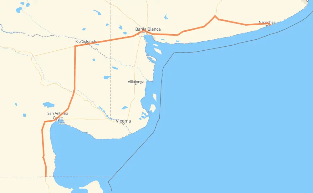
The distance from Arroyo Verde to Costa Bonita is 918 kilometers by road. Road takes approximately 9 hours and 56 minutes and goes through Bahía Blanca, Sierra Grande, El Empalme, Río Colorado, Villa Bordeu, Grünbein and Pago Chico.
| Shortest distance by air | 682 km ✈️ |
| Car route length | 918 km 🚗 |
| Driving time | 9 h 56 min |
| Fuel amount | 73.4 L |
| Fuel cost | 108.7 GBP |
| Point | Distance | Time | Fuel | |
| Arroyo Verde | 0 km | 00 min | 0.0 L | |
|
RN3 45 km, 28 min
|
||||
| Sierra Grande | 45 km | 28 min | 3.6 L | |
|
RN3 121 km, 1 h 16 min
|
||||
| El Empalme | 166 km | 1 h 45 min | 13.0 L | |
|
RN3 RN251 235 km, 2 h 29 min
|
||||
| Río Colorado | 401 km | 4 h 14 min | 32.0 L | |
|
RN22 171 km, 1 h 51 min
|
||||
| Bahía Blanca | 572 km | 6 h 05 min | 45.0 L | |
|
RN33 13 km, 11 min
|
||||
| Grünbein | 585 km | 6 h 17 min | 46.5 L | |
|
RN3 13 km, 09 min
|
||||
| Pago Chico | 598 km | 6 h 26 min | 47.1 L | |
|
RN3 169 km, 1 h 51 min
|
||||
| Tres Arroyos | 767 km | 8 h 18 min | 60.9 L | |
|
RP85 RN228 147 km, 1 h 33 min
|
||||
| Quequén | 913 km | 9 h 51 min | 73.0 L | |
|
076-09 RP88 9 km, 08 min
|
||||
| Costa Bonita | 922 km | 10 h 00 min | 73.4 L | |
Frequently Asked Questions
How much does it cost to drive from Arroyo Verde to Costa Bonita?
Fuel cost: 108.7 GBP
This fuel cost is calculated as: (Route length 918 km / 100 km) * (Fuel consumption 8 L/100 km) * (Fuel price 1.48 GBP / L)
You can adjust fuel consumption and fuel price here.
How long is a car ride from Arroyo Verde to Costa Bonita?
Driving time: 9 h 56 min
This time is calculated for driving at the maximum permitted speed, taking into account traffic rules restrictions.
- 806 km with a maximum speed 96 km/h = 8 h 23 min
- 90 km with a maximum speed 80 km/h = 1 h 7 min
- 3 km with a maximum speed 65 km/h = 2 min
- 8 km with a maximum speed 60 km/h = 7 min
- 9 km with a maximum speed 50 km/h = 10 min
- 2 km with a maximum speed 40 km/h = 2 min
The calculated driving time does not take into account intermediate stops and traffic jams.
How far is Arroyo Verde to Costa Bonita by land?
The distance between Arroyo Verde and Costa Bonita is 918 km by road.
Precise satellite coordinates of highways were used for this calculation. The start and finish points are the centers of Arroyo Verde and Costa Bonita respectively.
How far is Arroyo Verde to Costa Bonita by plane?
The shortest distance (air line, as the crow flies) between Arroyo Verde and Costa Bonita is 682 km.
This distance is calculated using the Haversine formula as a great-circle distance between two points on the surface of a sphere. The start and finish points are the centers of Arroyo Verde and Costa Bonita respectively. Actual distance between airports may be different.
How many hours is Arroyo Verde from Costa Bonita by plane?
Boeing 737 airliner needs 51 min to cover the distance of 682 km at a cruising speed of 800 km/h.
Small plane "Cessna 172" needs 3 h 6 min to flight this distance at average speed of 220 km/h.
This time is approximate and do not take into account takeoff and landing times, airport location and other real world factors.
How long is a helicopter ride from Arroyo Verde to Costa Bonita?
Fast helicopter "Eurocopter AS350" or "Hughes OH-6 Cayuse" need 2 h 50 min to cover the distance of 682 km at a cruising speed of 240 km/h.
Popular "Robinson R44" needs 3 h 14 min to flight this distance at average speed of 210 km/h.
This time is approximate and do not take into account takeoff and landing times, aerodrome location and other real world factors.
What city is halfway between Arroyo Verde and Costa Bonita?
The halfway point between Arroyo Verde and Costa Bonita is Río Colorado. It is located about 58 km from the exact midpoint by road.
The distance from Río Colorado to Arroyo Verde is 401 km and driving will take about 4 h 14 min. The road between Río Colorado and Costa Bonita has length 517 km and will take approximately 5 h 41 min.
The other cities located close to halfway point:
Where is Arroyo Verde in relation to Costa Bonita?
Arroyo Verde is located 682 km south-west of Costa Bonita.
Arroyo Verde has geographic coordinates: latitude -41.99643, longitude -65.29359.
Costa Bonita has geographic coordinates: latitude -38.55824, longitude -58.62843.
Which highway goes from Arroyo Verde to Costa Bonita?
The route from Arroyo Verde to Costa Bonita follows RN3, RN251, RN22, RN228.
Other minor sections pass along the road:
- RP85: 9 km
- 076-09: 8 km
- RN33: 7 km
- Ex RN3: 3 km
- RP88: 2 km