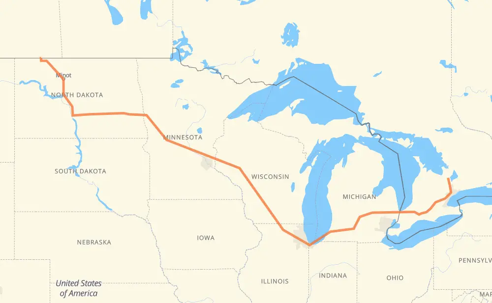
The distance from Barrie to North Portal is 2,558 kilometers by road including 2,209 kilometers on motorways. Road takes approximately 24 hours and 34 minutes and goes through Vaughan, Brampton, Kitchener, Woodstock, Sarnia, Flint and Lansing.
How much does it cost to drive from Barrie to North Portal?
Fuel cost:
302.8 GBP
This fuel cost is calculated as: (Route length 2,558 km / 100 km) * (Fuel consumption 8 L/100 km) * (Fuel price 1.48 GBP / L)
You can adjust fuel consumption and fuel price here.
How long is a car ride from Barrie to North Portal?
Driving time:
24 h 34 min
This time is calculated for driving at the maximum permitted speed, taking into account traffic rules restrictions.
1,646 km with a maximum speed 112 km/h = 14 h 41 min
90 km with a maximum speed 110 km/h = 48 min
32 km with a maximum speed 105 km/h = 18 min
333 km with a maximum speed 100 km/h = 3 h 19 min
50 km with a maximum speed 97 km/h = 31 min
92 km with a maximum speed 96 km/h = 57 min
29 km with a maximum speed 89 km/h = 19 min
276 km with a maximum speed 80 km/h = 3 h 27 min
3 km with a maximum speed 72 km/h = 2 min
2 km with a maximum speed 70 km/h = 1 min
4 km with a maximum speed 50 km/h = 4 min
The calculated driving time does not take into account intermediate stops and traffic jams.
How far is Barrie to North Portal by land?
The distance between Barrie and North Portal is 2,558 km by road including 2,209 km on motorways.
Precise satellite coordinates of highways were used for this calculation. The start and finish points are the centers of Barrie and North Portal respectively.
How far is Barrie to North Portal by plane?
The shortest distance (air line, as the crow flies) between Barrie and North Portal is 1,809 km.
This distance is calculated using the Haversine formula as a great-circle distance between two points on the surface of a sphere. The start and finish points are the centers of Barrie and North Portal respectively. Actual distance between airports may be different.
How many hours is Barrie from North Portal by plane?
Boeing 737 airliner needs 2 h 15 min to cover the distance of 1,809 km at a cruising speed of 800 km/h.
Small plane "Cessna 172" needs 8 h 13 min to flight this distance at average speed of 220 km/h.
This time is approximate and do not take into account takeoff and landing times, airport location and other real world factors.
How long is a helicopter ride from Barrie to North Portal?
Fast helicopter "Eurocopter AS350" or "Hughes OH-6 Cayuse" need 7 h 32 min to cover the distance of 1,809 km at a cruising speed of 240 km/h.
Popular "Robinson R44" needs 8 h 36 min to flight this distance at average speed of 210 km/h.
This time is approximate and do not take into account takeoff and landing times, aerodrome location and other real world factors.
What city is halfway between Barrie and North Portal?
The halfway point between Barrie and North Portal is Oakdale. It is located about 9 km from the exact midpoint by road.
The distance from Oakdale to Barrie is 1,270 km and driving will take about 11 h 56 min. The road between Oakdale and North Portal has length 1,287 km and will take approximately 12 h 37 min.
The other cities located close to halfway point:
Camp Douglas is in 1,262 km from Barrie and 1,296 km from North Portal
Millston is in 1,305 km from Barrie and 1,252 km from North Portal
Wisconsin Dells is in 1,222 km from Barrie and 1,335 km from North Portal
Where is Barrie in relation to North Portal?
Barrie is located 1,809 km east of North Portal.
Barrie has geographic coordinates: latitude 44.37884, longitude -79.70306.
North Portal has geographic coordinates: latitude 49.00145, longitude -102.54803.
Which highway goes from Barrie to North Portal?
The route from Barrie to North Portal follows I 94, I 90, US 52, I 69, US 83, I 39, 401, 402.