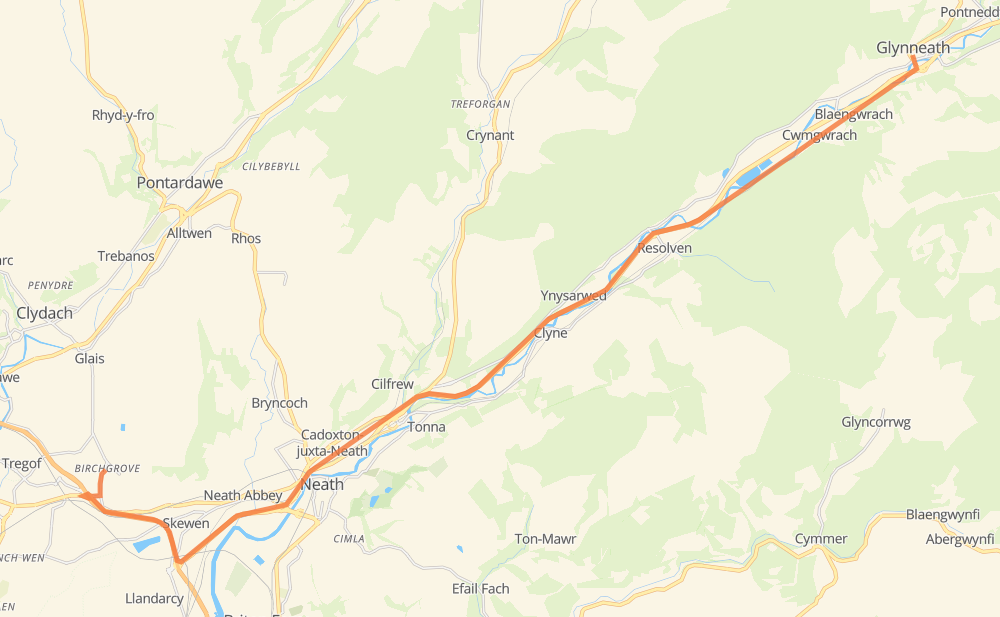
Distance between Birchgrove and Glyn-neath
The distance from Birchgrove to Glyn-neath is 25 kilometers by road including 3 kilometers on motorways. Road takes approximately 17 minutes and goes through Cadoxton-juxta-Neath, Aberdulais, Abergarwed and Cwmgwrach.
| Shortest distance by air | 20 km ✈️ |
| Car route length | 25 km 🚗 |
| Driving time | 17 min |
| Fuel amount | 2 L |
| Fuel cost | 2.9 GBP |
| Point | Distance | Time | Fuel | |
| Birchgrove | 0 km | 00 min | 0.0 L | |
|
M4 A465 8 km, 05 min
|
||||
| Cadoxton-juxta-Neath | 8 km | 05 min | 0.6 L | |
|
A465 4 km, 02 min
|
||||
| Aberdulais | 12 km | 08 min | 0.8 L | |
|
A465 4 km, 02 min
|
||||
| Abergarwed | 16 km | 10 min | 1.1 L | |
|
A465 5 km, 03 min
|
||||
| Cwmgwrach | 20 km | 13 min | 1.4 L | |
|
A465 4 km, 03 min
|
||||
| Glyn-neath | 25 km | 17 min | 1.9 L | |
Frequently Asked Questions
How much does it cost to drive from Birchgrove to Glyn-neath?
Fuel cost: 2.9 GBP
This fuel cost is calculated as: (Route length 25 km / 100 km) * (Fuel consumption 8 L/100 km) * (Fuel price 1.49 GBP / L)
You can adjust fuel consumption and fuel price here.
How long is a car ride from Birchgrove to Glyn-neath?
Driving time: 17 min
This time is calculated for driving at the maximum permitted speed, taking into account traffic rules restrictions.
- 2 km with a maximum speed 112 km/h = 1 min
- 15 km with a maximum speed 96 km/h = 9 min
- 5 km with a maximum speed 80 km/h = 4 min
- 2 km with a maximum speed 48 km/h = 2 min
The calculated driving time does not take into account intermediate stops and traffic jams.
How far is Birchgrove to Glyn-neath by land?
The distance between Birchgrove and Glyn-neath is 25 km by road including 3 km on motorways.
Precise satellite coordinates of highways were used for this calculation. The start and finish points are the centers of Birchgrove and Glyn-neath respectively.
What city is halfway between Birchgrove and Glyn-neath?
The halfway point between Birchgrove and Glyn-neath is Aberdulais. It is located about 1 km from the exact midpoint by road.
The distance from Aberdulais to Birchgrove is 12 km and driving will take about 8 min. The road between Aberdulais and Glyn-neath has length 13 km and will take approximately 9 min.
The other cities located close to halfway point:
Where is Birchgrove in relation to Glyn-neath?
Birchgrove is located 20 km south-west of Glyn-neath.
Birchgrove has geographic coordinates: latitude 51.6678, longitude -3.87187.
Glyn-neath has geographic coordinates: latitude 51.74841, longitude -3.61693.
Which highway goes from Birchgrove to Glyn-neath?
The route from Birchgrove to Glyn-neath follows A465.
Other minor sections pass along the road:
- M4: 2 km