Distance between Bożejewiczki and Łabiszynek
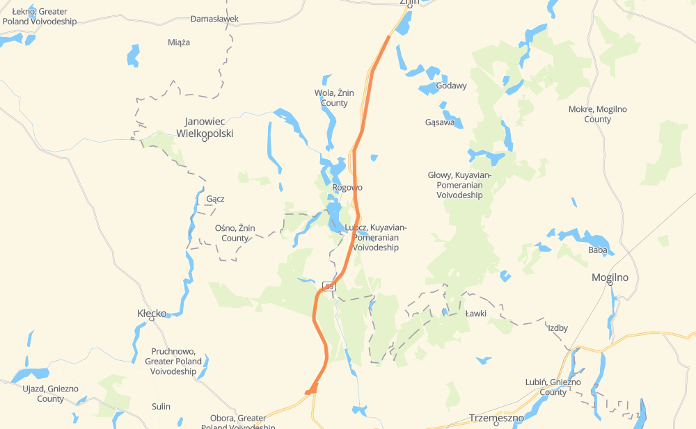
The distance from Bożejewiczki to Łabiszynek is 32 kilometers by road. Road takes approximately 20 minutes and goes through Znin, Bożejewice, Grochowiska Księże, Czewujewo, Łaziska, Rogowo and Cotoń.
| Shortest distance by air | 27 km ✈️ |
| Car route length | 32 km 🚗 |
| Driving time | 20 min |
| Fuel amount | 2.5 L |
| Fuel cost | 3.8 GBP |
| Point | Distance | Time | Fuel | |
| Bożejewiczki | 0 km | 00 min | 0.0 L | |
|
4 km, 03 min
|
||||
| Bożejewice | 4 km | 03 min | 0.0 L | |
|
S5 5 km, 03 min
|
||||
| Grochowiska Księże | 9 km | 06 min | 0.7 L | |
|
S5 3 km, 01 min
|
||||
| Łaziska | 12 km | 07 min | 0.8 L | |
|
S5 5 km, 03 min
|
||||
| Ostrów | 17 km | 11 min | 1.2 L | |
|
S5 14 km, 09 min
|
||||
| Łabiszynek | 32 km | 20 min | 1.7 L | |
Frequently Asked Questions
How much does it cost to drive from Bożejewiczki to Łabiszynek?
Fuel cost: 3.8 GBP
This fuel cost is calculated as: (Route length 32 km / 100 km) * (Fuel consumption 8 L/100 km) * (Fuel price 1.49 GBP / L)
You can adjust fuel consumption and fuel price here.
How long is a car ride from Bożejewiczki to Łabiszynek?
Driving time: 20 min
This time is calculated for driving at the maximum permitted speed, taking into account traffic rules restrictions.
- 28 km with a maximum speed 96 km/h = 17 min
- 2 km with a maximum speed 50 km/h = 1 min
The calculated driving time does not take into account intermediate stops and traffic jams.
How far is Bożejewiczki to Łabiszynek by land?
The distance between Bożejewiczki and Łabiszynek is 32 km by road.
Precise satellite coordinates of highways were used for this calculation. The start and finish points are the centers of Bożejewiczki and Łabiszynek respectively.
What city is halfway between Bożejewiczki and Łabiszynek?
The halfway point between Bożejewiczki and Łabiszynek is Ostrów. It is located about 1 km from the exact midpoint by road.
The distance from Ostrów to Bożejewiczki is 17 km and driving will take about 11 min. The road between Ostrów and Łabiszynek has length 14 km and will take approximately 9 min.
The other cities located close to halfway point:
Where is Bożejewiczki in relation to Łabiszynek?
Bożejewiczki is located 27 km north-east of Łabiszynek.
Bożejewiczki has geographic coordinates: latitude 52.8281, longitude 17.6987.
Łabiszynek has geographic coordinates: latitude 52.5885, longitude 17.61627.
Which highway goes from Bożejewiczki to Łabiszynek?
The route from Bożejewiczki to Łabiszynek follows S5.