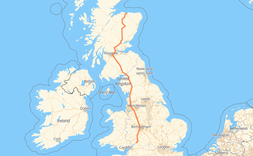
The distance from Buckie to Parkend is 826 kilometers by road including 586 kilometers on motorways. Road takes approximately 8 hours and 5 minutes and goes through Carlisle, Birmingham, Cullen, Rothes, Braemar, New Rattray and Auchterarder.
How much does it cost to drive from Buckie to Parkend?
Fuel cost:
97.8 GBP
This fuel cost is calculated as: (Route length 826 km / 100 km) * (Fuel consumption 8 L/100 km) * (Fuel price 1.48 GBP / L)
You can adjust fuel consumption and fuel price here.
How long is a car ride from Buckie to Parkend?
Driving time:
8 h 5 min
This time is calculated for driving at the maximum permitted speed, taking into account traffic rules restrictions.
550 km with a maximum speed 112 km/h = 4 h 54 min
13 km with a maximum speed 100 km/h = 7 min
221 km with a maximum speed 96 km/h = 2 h 18 min
6 km with a maximum speed 80 km/h = 4 min
27 km with a maximum speed 80 km/h = 19 min
3 km with a maximum speed 64 km/h = 2 min
1 km with a maximum speed 50 km/h = 1 min
12 km with a maximum speed 48 km/h = 15 min
1 km with a maximum speed 32 km/h = 1 min
The calculated driving time does not take into account intermediate stops and traffic jams.
How far is Buckie to Parkend by land?
The distance between Buckie and Parkend is 826 km by road including 586 km on motorways.
Precise satellite coordinates of highways were used for this calculation. The start and finish points are the centers of Buckie and Parkend respectively.
How far is Buckie to Parkend by plane?
The shortest distance (air line, as the crow flies) between Buckie and Parkend is 655 km.
This distance is calculated using the Haversine formula as a great-circle distance between two points on the surface of a sphere. The start and finish points are the centers of Buckie and Parkend respectively. Actual distance between airports may be different.
How many hours is Buckie from Parkend by plane?
Boeing 737 airliner needs 49 min to cover the distance of 655 km at a cruising speed of 800 km/h.
Small plane "Cessna 172" needs 2 h 58 min to flight this distance at average speed of 220 km/h.
This time is approximate and do not take into account takeoff and landing times, airport location and other real world factors.
How long is a helicopter ride from Buckie to Parkend?
Fast helicopter "Eurocopter AS350" or "Hughes OH-6 Cayuse" need 2 h 43 min to cover the distance of 655 km at a cruising speed of 240 km/h.
Popular "Robinson R44" needs 3 h 7 min to flight this distance at average speed of 210 km/h.
This time is approximate and do not take into account takeoff and landing times, aerodrome location and other real world factors.
What city is halfway between Buckie and Parkend?
The halfway point between Buckie and Parkend is Gretna. It is located about 1 km from the exact midpoint by road.
The distance from Gretna to Buckie is 414 km and driving will take about 4 h 14 min. The road between Gretna and Parkend has length 412 km and will take approximately 3 h 51 min.
The other cities located close to halfway point:
Redhouse is in 411 km from Buckie and 415 km from Parkend
Blackford is in 418 km from Buckie and 408 km from Parkend
Todhills is in 421 km from Buckie and 406 km from Parkend
Where is Buckie in relation to Parkend?
Buckie is located 655 km north of Parkend.
Buckie has geographic coordinates: latitude 57.67069, longitude -2.96973.
Parkend has geographic coordinates: latitude 51.79418, longitude -2.30428.