Distance between Cuatrociénegas de Carranza and Yautepec
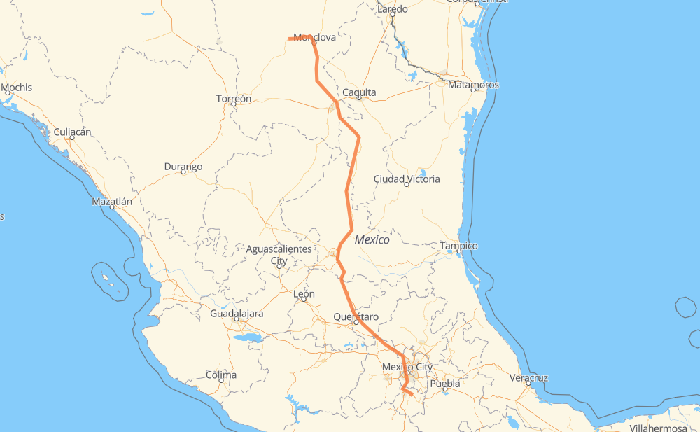
The distance from Cuatrociénegas de Carranza to Yautepec is 1,194 kilometers by road including 911 kilometers on motorways. Road takes approximately 13 hours and 5 minutes and goes through San Juan del Rio, San Buenaventura, Castaños, Arteaga, San Rafael, San Cayetano de Vacas and Ejido La Yerba.
| Shortest distance by air | 952 km ✈️ |
| Car route length | 1,194 km 🚗 |
| Driving time | 13 h 5 min |
| Fuel amount | 95.5 L |
| Fuel cost | 142.3 GBP |
| Toll roads cost | 555 + ? MXN |
| Point | Distance | Time | Fuel | |
| Cuatrociénegas de Carranza | 0 km | 00 min | 0.0 L | |
|
MEX 30 60 km, 47 min
|
||||
| San Buenaventura | 60 km | 47 min | 4.3 L | |
|
MEX 30 COAH 50 34 km, 26 min
|
||||
| Castaños | 94 km | 1 h 13 min | 7.2 L | |
|
MEX 57 177 km, 1 h 58 min
|
||||
| Arteaga | 270 km | 3 h 12 min | 21.4 L | |
|
MEX 57D 65 km, 38 min
|
||||
| San Rafael | 336 km | 3 h 51 min | 26.5 L | |
|
MEX 57 117 km, 1 h 09 min
|
||||
| San Cayetano de Vacas | 452 km | 5 h 00 min | 33.8 L | |
|
MEX 57 254 km, 2 h 41 min
|
||||
| Delegación de La Pila | 706 km | 7 h 42 min | 54.8 L | |
|
MEX 57D MEX 57 160 km, 1 h 39 min
|
||||
| Parque Industrial Queretaro | 866 km | 9 h 22 min | 68.9 L | |
|
MEX 57 MEX 57D 72 km, 48 min
|
||||
| San Juan del Rio | 938 km | 10 h 11 min | 74.5 L | |
|
MEX 57 MEX 57D 256 km, 2 h 53 min
|
||||
| Yautepec | 1,194 km | 13 h 04 min | 95.4 L | |
Hotels of Yautepec
Frequently Asked Questions
How many toll booths are there from Cuatrociénegas de Carranza to Yautepec?
There are 10 toll booths between Cuatrociénegas de Carranza and Yautepec: La Carbonera, Los Chorros, Matehuala Omega, Libramiento Oriente De SLP, Chichimequillas, Tlalpan, Oacalco, Palmillas, Tepotzotlán and Urbana Norte - Viaducto Minería.
How much does the toll booths cost from Cuatrociénegas de Carranza to Yautepec?
Toll roads cost: La Carbonera (42 MXN) + Los Chorros (66 MXN) + Matehuala Omega (?) + Libramiento Oriente De SLP (70 MXN) + Chichimequillas (51 MXN) + Palmillas (89 MXN) + Tepotzotlán (89 MXN) + Urbana Norte - Viaducto Minería (?) + Tlalpan (114 MXN) + Oacalco (34 MXN) = 555 + ? MXN
How much does it cost to drive from Cuatrociénegas de Carranza to Yautepec?
Fuel cost: 142.3 GBP
This fuel cost is calculated as: (Route length 1,194 km / 100 km) * (Fuel consumption 8 L/100 km) * (Fuel price 1.49 GBP / L)
You can adjust fuel consumption and fuel price here.
Toll roads cost: 555 + ? MXN
How long is a car ride from Cuatrociénegas de Carranza to Yautepec?
Driving time: 13 h 5 min
This time is calculated for driving at the maximum permitted speed, taking into account traffic rules restrictions.
- 102 km with a maximum speed 110 km/h = 55 min
- 437 km with a maximum speed 100 km/h = 4 h 22 min
- 49 km with a maximum speed 96 km/h = 30 min
- 334 km with a maximum speed 90 km/h = 3 h 42 min
- 246 km with a maximum speed 80 km/h = 3 h 4 min
- 16 km with a maximum speed 60 km/h = 15 min
- 8 km with a maximum speed 50 km/h = 10 min
- 1 km with a maximum speed 30 km/h = 2 min
The calculated driving time does not take into account intermediate stops and traffic jams.
How far is Cuatrociénegas de Carranza to Yautepec by land?
The distance between Cuatrociénegas de Carranza and Yautepec is 1,194 km by road including 911 km on motorways.
Precise satellite coordinates of highways were used for this calculation. The start and finish points are the centers of Cuatrociénegas de Carranza and Yautepec respectively.
How far is Cuatrociénegas de Carranza to Yautepec by plane?
The shortest distance (air line, as the crow flies) between Cuatrociénegas de Carranza and Yautepec is 952 km.
This distance is calculated using the Haversine formula as a great-circle distance between two points on the surface of a sphere. The start and finish points are the centers of Cuatrociénegas de Carranza and Yautepec respectively. Actual distance between airports may be different.
How many hours is Cuatrociénegas de Carranza from Yautepec by plane?
Boeing 737 airliner needs 1 h 11 min to cover the distance of 952 km at a cruising speed of 800 km/h.
Small plane "Cessna 172" needs 4 h 19 min to flight this distance at average speed of 220 km/h.
This time is approximate and do not take into account takeoff and landing times, airport location and other real world factors.
How long is a helicopter ride from Cuatrociénegas de Carranza to Yautepec?
Fast helicopter "Eurocopter AS350" or "Hughes OH-6 Cayuse" need 3 h 58 min to cover the distance of 952 km at a cruising speed of 240 km/h.
Popular "Robinson R44" needs 4 h 32 min to flight this distance at average speed of 210 km/h.
This time is approximate and do not take into account takeoff and landing times, aerodrome location and other real world factors.
What city is halfway between Cuatrociénegas de Carranza and Yautepec?
The halfway point between Cuatrociénegas de Carranza and Yautepec is Huizache. It is located about 29 km from the exact midpoint by road.
The distance from Huizache to Cuatrociénegas de Carranza is 626 km and driving will take about 6 h 51 min. The road between Huizache and Yautepec has length 568 km and will take approximately 6 h 13 min.
The other cities located close to halfway point:
Where is Cuatrociénegas de Carranza in relation to Yautepec?
Cuatrociénegas de Carranza is located 952 km north-west of Yautepec.
Cuatrociénegas de Carranza has geographic coordinates: latitude 26.98808, longitude -102.06305.
Yautepec has geographic coordinates: latitude 18.88598, longitude -99.06108.
Which highway goes from Cuatrociénegas de Carranza to Yautepec?
The route from Cuatrociénegas de Carranza to Yautepec follows MEX 57, MEX 57D.
Other minor sections pass along the road:
- MEX 80: 82 km
- MEX 30: 68 km
- MEX 95D: 51 km
- MEX 45: 40 km
- MEX 160D: 20 km
- COAH 50: 15 km
- Periférico: 14 km
- MEX 120: 12 km
- Periferico Norte: 7 km
- MOR 2: 7 km