Distance between Culiacán and Atotonilco
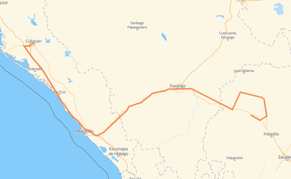
The distance from Culiacán to Atotonilco is 769 kilometers by road including 329 kilometers on motorways. Road takes approximately 8 hours and 40 minutes and goes through Dimas (Estación Dimas), Campo Balbuena, Tanques, El Salto, Fracc. del Pilar, Nombre de Dios and Vicente Guerrero.
| Shortest distance by air | 441 km ✈️ |
| Car route length | 769 km 🚗 |
| Driving time | 8 h 40 min |
| Fuel amount | 61.5 L |
| Fuel cost | 91.7 GBP |
| Toll roads cost | 1,038 MXN |
| Point | Distance | Time | Fuel | |
| Culiacán | 0 km | 00 min | 0.0 L | |
|
16 km, 15 min
|
||||
| Campo Balbuena | 16 km | 15 min | 0.5 L | |
|
MEX 15D 99 km, 1 h 01 min
|
||||
| Tanques | 116 km | 1 h 16 min | 8.8 L | |
|
MEX 15D 44 km, 31 min
|
||||
| Dimas (Estación Dimas) | 160 km | 1 h 48 min | 11.7 L | |
|
MEX 15D MEX 40D 220 km, 2 h 27 min
|
||||
| El Salto | 379 km | 4 h 15 min | 29.8 L | |
|
MEX 40D 95 km, 1 h 05 min
|
||||
| Fracc. del Pilar | 474 km | 5 h 20 min | 37.3 L | |
|
DGO 45 MEX 45 51 km, 35 min
|
||||
| Nombre de Dios | 526 km | 5 h 55 min | 41.8 L | |
|
MEX 45 35 km, 24 min
|
||||
| Vicente Guerrero | 561 km | 6 h 20 min | 44.3 L | |
|
MEX 45 36 km, 22 min
|
||||
| Sombrerete | 597 km | 6 h 43 min | 46.9 L | |
|
MEX 45 MEX 49 172 km, 1 h 57 min
|
||||
| Atotonilco | 769 km | 8 h 40 min | 61.5 L | |
Frequently Asked Questions
How many toll booths are there from Culiacán to Atotonilco?
There are 8 toll booths between Culiacán and Atotonilco: San Pedro km 197+100, Culiacan, Costa Rica, Marmol, Mesillas, Durango 95, Llano Grande and Coscomate.
How much does the toll booths cost from Culiacán to Atotonilco?
Toll roads cost: Culiacan (73 MXN) + San Pedro km 197+100 (34 MXN) + Costa Rica (152 MXN) + Marmol (131 MXN) + Mesillas (166 MXN) + Coscomate (315 MXN) + Llano Grande (100 MXN) + Durango 95 (67 MXN) = 1,038 MXN
How much does it cost to drive from Culiacán to Atotonilco?
Fuel cost: 91.7 GBP
This fuel cost is calculated as: (Route length 769 km / 100 km) * (Fuel consumption 8 L/100 km) * (Fuel price 1.49 GBP / L)
You can adjust fuel consumption and fuel price here.
Toll roads cost: 1,038 MXN
How long is a car ride from Culiacán to Atotonilco?
Driving time: 8 h 40 min
This time is calculated for driving at the maximum permitted speed, taking into account traffic rules restrictions.
- 25 km with a maximum speed 112 km/h = 13 min
- 36 km with a maximum speed 110 km/h = 19 min
- 138 km with a maximum speed 100 km/h = 1 h 22 min
- 264 km with a maximum speed 96 km/h = 2 h 45 min
- 80 km with a maximum speed 90 km/h = 53 min
- 199 km with a maximum speed 80 km/h = 2 h 28 min
- 17 km with a maximum speed 60 km/h = 17 min
- 8 km with a maximum speed 40 km/h = 11 min
- 1 km with a maximum speed 10 km/h = 6 min
The calculated driving time does not take into account intermediate stops and traffic jams.
How far is Culiacán to Atotonilco by land?
The distance between Culiacán and Atotonilco is 769 km by road including 329 km on motorways.
Precise satellite coordinates of highways were used for this calculation. The start and finish points are the centers of Culiacán and Atotonilco respectively.
How far is Culiacán to Atotonilco by plane?
The shortest distance (air line, as the crow flies) between Culiacán and Atotonilco is 441 km.
This distance is calculated using the Haversine formula as a great-circle distance between two points on the surface of a sphere. The start and finish points are the centers of Culiacán and Atotonilco respectively. Actual distance between airports may be different.
How many hours is Culiacán from Atotonilco by plane?
Boeing 737 airliner needs 33 min to cover the distance of 441 km at a cruising speed of 800 km/h.
Small plane "Cessna 172" needs 2 h to flight this distance at average speed of 220 km/h.
This time is approximate and do not take into account takeoff and landing times, airport location and other real world factors.
How long is a helicopter ride from Culiacán to Atotonilco?
Fast helicopter "Eurocopter AS350" or "Hughes OH-6 Cayuse" need 1 h 50 min to cover the distance of 441 km at a cruising speed of 240 km/h.
Popular "Robinson R44" needs 2 h 6 min to flight this distance at average speed of 210 km/h.
This time is approximate and do not take into account takeoff and landing times, aerodrome location and other real world factors.
What city is halfway between Culiacán and Atotonilco?
The halfway point between Culiacán and Atotonilco is El Salto. It is located about 5 km from the exact midpoint by road.
The distance from El Salto to Culiacán is 379 km and driving will take about 4 h 14 min. The road between El Salto and Atotonilco has length 390 km and will take approximately 4 h 25 min.
The other cities located close to halfway point:
Where is Culiacán in relation to Atotonilco?
Culiacán is located 441 km north-west of Atotonilco.
Culiacán has geographic coordinates: latitude 24.80172, longitude -107.39305.
Atotonilco has geographic coordinates: latitude 23.55369, longitude -103.26452.
Which highway goes from Culiacán to Atotonilco?
The route from Culiacán to Atotonilco follows MEX 15D, MEX 40D, MEX 45.
Other minor sections pass along the road:
- MEX 49: 42 km
- ZAC 86: 40 km
- ZAC 125: 39 km
- DGO 45: 27 km
- ZAC 90: 8 km
- De las Torres: 2 km