Distance between Guarulhos and Planura
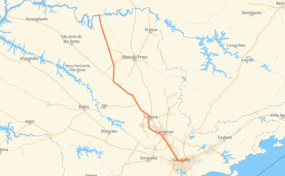
The distance from Guarulhos to Planura is 500 kilometers by road including 454 kilometers on motorways. Road takes approximately 4 hours and 56 minutes and goes through Rio Claro, Caieiras, Malota, Jardim Boa Vista, Chácaras Beira-rio, Jardim Itamaraty and Jardim Araucária.
| Shortest distance by air | 431 km ✈️ |
| Car route length | 500 km 🚗 |
| Driving time | 4 h 56 min |
| Fuel amount | 40 L |
| Fuel cost | 59.6 GBP |
| Point | Distance | Time | Fuel | |
| Guarulhos | 0 km | 00 min | 0.0 L | |
|
BR-116 48 km, 30 min
|
||||
| Caieiras | 48 km | 30 min | 3.4 L | |
|
SP-348 23 km, 12 min
|
||||
| Malota | 70 km | 42 min | 5.5 L | |
|
SP-348 48 km, 26 min
|
||||
| Jardim Boa Vista | 118 km | 1 h 09 min | 9.2 L | |
|
SP-348 34 km, 19 min
|
||||
| Chácaras Beira-rio | 152 km | 1 h 28 min | 11.9 L | |
|
SP-348 49 km, 28 min
|
||||
| Rio Claro | 201 km | 1 h 56 min | 15.7 L | |
|
SP-310 58 km, 35 min
|
||||
| Jardim Itamaraty | 259 km | 2 h 31 min | 20.7 L | |
|
SP-310 10 km, 06 min
|
||||
| Jardim Araucária | 269 km | 2 h 38 min | 21.4 L | |
|
SP-310 SP-326 231 km, 2 h 18 min
|
||||
| Planura | 500 km | 4 h 56 min | 39.7 L | |
Frequently Asked Questions
How much does it cost to drive from Guarulhos to Planura?
Fuel cost: 59.6 GBP
This fuel cost is calculated as: (Route length 500 km / 100 km) * (Fuel consumption 8 L/100 km) * (Fuel price 1.49 GBP / L)
You can adjust fuel consumption and fuel price here.
How long is a car ride from Guarulhos to Planura?
Driving time: 4 h 56 min
This time is calculated for driving at the maximum permitted speed, taking into account traffic rules restrictions.
- 156 km with a maximum speed 112 km/h = 1 h 23 min
- 151 km with a maximum speed 110 km/h = 1 h 22 min
- 94 km with a maximum speed 100 km/h = 56 min
- 36 km with a maximum speed 96 km/h = 22 min
- 29 km with a maximum speed 90 km/h = 19 min
- 22 km with a maximum speed 80 km/h = 16 min
- 3 km with a maximum speed 70 km/h = 2 min
- 1 km with a maximum speed 50 km/h = 1 min
- 7 km with a maximum speed 40 km/h = 11 min
The calculated driving time does not take into account intermediate stops and traffic jams.
How far is Guarulhos to Planura by land?
The distance between Guarulhos and Planura is 500 km by road including 454 km on motorways.
Precise satellite coordinates of highways were used for this calculation. The start and finish points are the centers of Guarulhos and Planura respectively.
How far is Guarulhos to Planura by plane?
The shortest distance (air line, as the crow flies) between Guarulhos and Planura is 431 km.
This distance is calculated using the Haversine formula as a great-circle distance between two points on the surface of a sphere. The start and finish points are the centers of Guarulhos and Planura respectively. Actual distance between airports may be different.
How many hours is Guarulhos from Planura by plane?
Boeing 737 airliner needs 32 min to cover the distance of 431 km at a cruising speed of 800 km/h.
Small plane "Cessna 172" needs 1 h 57 min to flight this distance at average speed of 220 km/h.
This time is approximate and do not take into account takeoff and landing times, airport location and other real world factors.
How long is a helicopter ride from Guarulhos to Planura?
Fast helicopter "Eurocopter AS350" or "Hughes OH-6 Cayuse" need 1 h 47 min to cover the distance of 431 km at a cruising speed of 240 km/h.
Popular "Robinson R44" needs 2 h 3 min to flight this distance at average speed of 210 km/h.
This time is approximate and do not take into account takeoff and landing times, aerodrome location and other real world factors.
What city is halfway between Guarulhos and Planura?
The halfway point between Guarulhos and Planura is Jardim Itamaraty. It is located about 9 km from the exact midpoint by road.
The distance from Jardim Itamaraty to Guarulhos is 259 km and driving will take about 2 h 31 min. The road between Jardim Itamaraty and Planura has length 241 km and will take approximately 2 h 24 min.
The other cities located close to halfway point:
Where is Guarulhos in relation to Planura?
Guarulhos is located 431 km south-east of Planura.
Guarulhos has geographic coordinates: latitude -23.44306, longitude -46.52446.
Planura has geographic coordinates: latitude -20.13686, longitude -48.70668.
Which highway goes from Guarulhos to Planura?
The route from Guarulhos to Planura follows BR-364, SP-326, SP-348, SP-310.
Other minor sections pass along the road:
- BR-267: 58 km
- BR-116: 21 km
- SP-015: 11 km
- SP-060: 10 km
- BR-050: 6 km