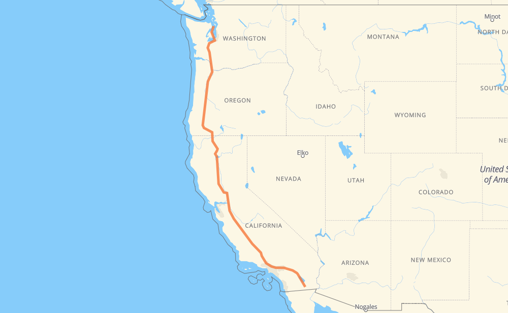
The distance from Imperial to Hansville is 2,202 kilometers by road including 2,048 kilometers on motorways. Road takes approximately 20 hours and 59 minutes and goes through El Centro, Indio, Palm Springs, Calimesa, Redlands, San Bernardino and Rialto.
How much does it cost to drive from Imperial to Hansville?
Fuel cost:
262.4 GBP
This fuel cost is calculated as: (Route length 2,202 km / 100 km) * (Fuel consumption 8 L/100 km) * (Fuel price 1.49 GBP / L)
You can adjust fuel consumption and fuel price here.
How long is a car ride from Imperial to Hansville?
Driving time:
20 h 59 min
This time is calculated for driving at the maximum permitted speed, taking into account traffic rules restrictions.
944 km with a maximum speed 112 km/h = 8 h 25 min
871 km with a maximum speed 105 km/h = 8 h 19 min
4 km with a maximum speed 100 km/h = 2 min
163 km with a maximum speed 97 km/h = 1 h 41 min
108 km with a maximum speed 96 km/h = 1 h 7 min
44 km with a maximum speed 89 km/h = 29 min
31 km with a maximum speed 80 km/h = 23 min
23 km with a maximum speed 80 km/h = 17 min
7 km with a maximum speed 72 km/h = 5 min
1 km with a maximum speed 64 km/h = 1 min
3 km with a maximum speed 56 km/h = 3 min
1 km with a maximum speed 48 km/h = 1 min
1 km with a maximum speed 40 km/h = 1 min
The calculated driving time does not take into account intermediate stops and traffic jams.
How far is Imperial to Hansville by land?
The distance between Imperial and Hansville is 2,202 km by road including 2,048 km on motorways.
Precise satellite coordinates of highways were used for this calculation. The start and finish points are the centers of Imperial and Hansville respectively.
How far is Imperial to Hansville by plane?
The shortest distance (air line, as the crow flies) between Imperial and Hansville is 1,776 km.
This distance is calculated using the Haversine formula as a great-circle distance between two points on the surface of a sphere. The start and finish points are the centers of Imperial and Hansville respectively. Actual distance between airports may be different.
How many hours is Imperial from Hansville by plane?
Boeing 737 airliner needs 2 h 13 min to cover the distance of 1,776 km at a cruising speed of 800 km/h.
Small plane "Cessna 172" needs 8 h 4 min to flight this distance at average speed of 220 km/h.
This time is approximate and do not take into account takeoff and landing times, airport location and other real world factors.
How long is a helicopter ride from Imperial to Hansville?
Fast helicopter "Eurocopter AS350" or "Hughes OH-6 Cayuse" need 7 h 24 min to cover the distance of 1,776 km at a cruising speed of 240 km/h.
Popular "Robinson R44" needs 8 h 27 min to flight this distance at average speed of 210 km/h.
This time is approximate and do not take into account takeoff and landing times, aerodrome location and other real world factors.
What city is halfway between Imperial and Hansville?
The halfway point between Imperial and Hansville is Willows. It is located about 24 km from the exact midpoint by road.
The distance from Willows to Imperial is 1,076 km and driving will take about 10 h 1 min. The road between Willows and Hansville has length 1,125 km and will take approximately 10 h 58 min.
The other cities located close to halfway point:
Delevan is in 1,064 km from Imperial and 1,138 km from Hansville
Maxwell is in 1,054 km from Imperial and 1,148 km from Hansville
Delphos is in 1,046 km from Imperial and 1,155 km from Hansville
Where is Imperial in relation to Hansville?
Imperial is located 1,776 km south-east of Hansville.
Imperial has geographic coordinates: latitude 32.84755, longitude -115.56944.
Hansville has geographic coordinates: latitude 47.9187, longitude -122.55431.
Which highway goes from Imperial to Hansville?
The route from Imperial to Hansville follows I 5, I 10, CA 86, OR 99.