Distance between Meadow Lake SK and Rossport ON
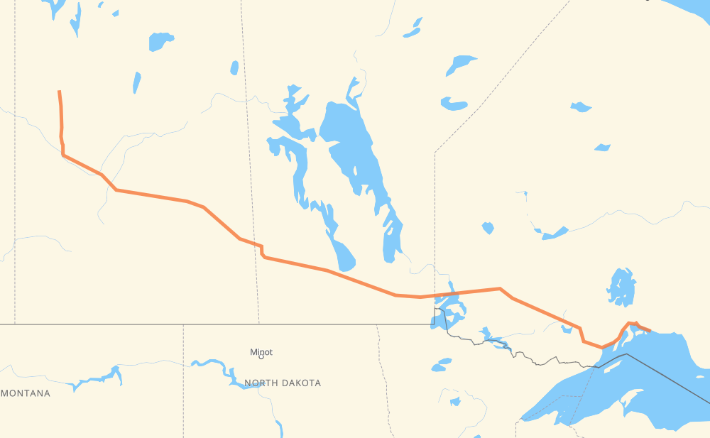
The distance from Meadow Lake to Rossport is 1,953 kilometers by road including 52 kilometers on motorways. Road takes approximately 21 hours and 21 minutes and goes through North Battleford, Saskatoon, Yorkton, Portage la Prairie, Winnipeg, Kenora and Dryden.
| Shortest distance by air | 1,556 km ✈️ |
| Car route length | 1,953 km 🚗 |
| Driving time | 21 h 21 min |
| Fuel amount | 156.3 L |
| Fuel cost | 232.9 GBP |
| Point | Distance | Time | Fuel | |
| Meadow Lake | 0 km | 00 min | 0.0 L | |
|
4 157 km, 1 h 42 min
|
||||
| North Battleford | 157 km | 1 h 42 min | 12.0 L | |
|
4 16 141 km, 1 h 33 min
|
||||
| Saskatoon | 298 km | 3 h 15 min | 23.2 L | |
|
16 325 km, 3 h 25 min
|
||||
| Yorkton | 623 km | 6 h 40 min | 49.4 L | |
|
16 PTH 16 369 km, 4 h 02 min
|
||||
| Portage la Prairie | 992 km | 10 h 43 min | 78.8 L | |
|
PTH 1 89 km, 57 min
|
||||
| Winnipeg | 1,081 km | 11 h 40 min | 85.0 L | |
|
PTH 100 PTH 1 216 km, 2 h 17 min
|
||||
| Kenora | 1,297 km | 13 h 57 min | 103.4 L | |
|
17A 17 146 km, 1 h 40 min
|
||||
| Dryden | 1,443 km | 15 h 37 min | 114.8 L | |
|
17 334 km, 3 h 45 min
|
||||
| Thunder Bay | 1,777 km | 19 h 23 min | 142.1 L | |
|
17 176 km, 1 h 58 min
|
||||
| Rossport | 1,953 km | 21 h 21 min | 155.9 L | |
Frequently Asked Questions
How much does it cost to drive from Meadow Lake to Rossport?
Fuel cost: 232.9 GBP
This fuel cost is calculated as: (Route length 1,953 km / 100 km) * (Fuel consumption 8 L/100 km) * (Fuel price 1.49 GBP / L)
You can adjust fuel consumption and fuel price here.
How long is a car ride from Meadow Lake to Rossport?
Driving time: 21 h 21 min
This time is calculated for driving at the maximum permitted speed, taking into account traffic rules restrictions.
- 27 km with a maximum speed 100 km/h = 16 min
- 1,089 km with a maximum speed 96 km/h = 11 h 20 min
- 639 km with a maximum speed 90 km/h = 7 h 6 min
- 155 km with a maximum speed 80 km/h = 1 h 56 min
- 21 km with a maximum speed 70 km/h = 17 min
- 10 km with a maximum speed 60 km/h = 10 min
- 12 km with a maximum speed 50 km/h = 14 min
The calculated driving time does not take into account intermediate stops and traffic jams.
How far is Meadow Lake to Rossport by land?
The distance between Meadow Lake and Rossport is 1,953 km by road including 52 km on motorways.
Precise satellite coordinates of highways were used for this calculation. The start and finish points are the centers of Meadow Lake and Rossport respectively.
How far is Meadow Lake to Rossport by plane?
The shortest distance (air line, as the crow flies) between Meadow Lake and Rossport is 1,556 km.
This distance is calculated using the Haversine formula as a great-circle distance between two points on the surface of a sphere. The start and finish points are the centers of Meadow Lake and Rossport respectively. Actual distance between airports may be different.
How many hours is Meadow Lake from Rossport by plane?
Boeing 737 airliner needs 1 h 56 min to cover the distance of 1,556 km at a cruising speed of 800 km/h.
Small plane "Cessna 172" needs 7 h 4 min to flight this distance at average speed of 220 km/h.
This time is approximate and do not take into account takeoff and landing times, airport location and other real world factors.
How long is a helicopter ride from Meadow Lake to Rossport?
Fast helicopter "Eurocopter AS350" or "Hughes OH-6 Cayuse" need 6 h 29 min to cover the distance of 1,556 km at a cruising speed of 240 km/h.
Popular "Robinson R44" needs 7 h 24 min to flight this distance at average speed of 210 km/h.
This time is approximate and do not take into account takeoff and landing times, aerodrome location and other real world factors.
What city is halfway between Meadow Lake and Rossport?
The halfway point between Meadow Lake and Rossport is Macdonald. It is located about 4 km from the exact midpoint by road.
The distance from Macdonald to Meadow Lake is 972 km and driving will take about 10 h 30 min. The road between Macdonald and Rossport has length 981 km and will take approximately 10 h 50 min.
The other cities located close to halfway point:
Where is Meadow Lake in relation to Rossport?
Meadow Lake is located 1,556 km west of Rossport.
Meadow Lake has geographic coordinates: latitude 54.13026, longitude -108.43506.
Rossport has geographic coordinates: latitude 48.83507, longitude -87.52089.
Which highway goes from Meadow Lake to Rossport?
The route from Meadow Lake to Rossport follows 17, 16, PTH 16, PTH 1, 4, 11.
Other minor sections pass along the road:
- PTH 100: 39 km
- PTH 83: 37 km
- 17A: 33 km
- 102: 33 km
- 20: 10 km
- 794: 7 km
- PTH 10: 6 km
- 6: 5 km
- PR 264: 3 km
- 9: 3 km
- PR 206: 2 km
- 12: 2 km
- 10: 2 km
- PR 250: 2 km
- 3: 2 km
- PTH 5: 1 km
- 55: 1 km