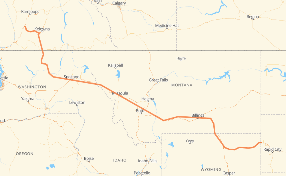
The distance from Merritt to Mossing is 1,893 kilometers by road including 1,464 kilometers on motorways. Road takes approximately 18 hours and 40 minutes and goes through Penticton, Omak, Spokane, Coeur d'Alene, Missoula, Butte and Billings.
How much does it cost to drive from Merritt to Mossing?
Fuel cost:
224.2 GBP
This fuel cost is calculated as: (Route length 1,893 km / 100 km) * (Fuel consumption 8 L/100 km) * (Fuel price 1.48 GBP / L)
You can adjust fuel consumption and fuel price here.
How long is a car ride from Merritt to Mossing?
Driving time:
18 h 40 min
This time is calculated for driving at the maximum permitted speed, taking into account traffic rules restrictions.
1,036 km with a maximum speed 112 km/h = 9 h 15 min
17 km with a maximum speed 110 km/h = 9 min
78 km with a maximum speed 105 km/h = 44 min
210 km with a maximum speed 100 km/h = 2 h 6 min
32 km with a maximum speed 97 km/h = 20 min
295 km with a maximum speed 96 km/h = 3 h 4 min
3 km with a maximum speed 90 km/h = 1 min
21 km with a maximum speed 89 km/h = 14 min
5 km with a maximum speed 80 km/h = 3 min
153 km with a maximum speed 80 km/h = 1 h 55 min
4 km with a maximum speed 72 km/h = 3 min
7 km with a maximum speed 70 km/h = 6 min
3 km with a maximum speed 60 km/h = 3 min
10 km with a maximum speed 56 km/h = 10 min
5 km with a maximum speed 50 km/h = 6 min
8 km with a maximum speed 48 km/h = 10 min
3 km with a maximum speed 40 km/h = 3 min
The calculated driving time does not take into account intermediate stops and traffic jams.
How far is Merritt to Mossing by land?
The distance between Merritt and Mossing is 1,893 km by road including 1,464 km on motorways.
Precise satellite coordinates of highways were used for this calculation. The start and finish points are the centers of Merritt and Mossing respectively.
How far is Merritt to Mossing by plane?
The shortest distance (air line, as the crow flies) between Merritt and Mossing is 1,408 km.
This distance is calculated using the Haversine formula as a great-circle distance between two points on the surface of a sphere. The start and finish points are the centers of Merritt and Mossing respectively. Actual distance between airports may be different.
How many hours is Merritt from Mossing by plane?
Boeing 737 airliner needs 1 h 45 min to cover the distance of 1,408 km at a cruising speed of 800 km/h.
Small plane "Cessna 172" needs 6 h 24 min to flight this distance at average speed of 220 km/h.
This time is approximate and do not take into account takeoff and landing times, airport location and other real world factors.
How long is a helicopter ride from Merritt to Mossing?
Fast helicopter "Eurocopter AS350" or "Hughes OH-6 Cayuse" need 5 h 52 min to cover the distance of 1,408 km at a cruising speed of 240 km/h.
Popular "Robinson R44" needs 6 h 42 min to flight this distance at average speed of 210 km/h.
This time is approximate and do not take into account takeoff and landing times, aerodrome location and other real world factors.
What city is halfway between Merritt and Mossing?
The halfway point between Merritt and Mossing is Garrison. It is located about 5 km from the exact midpoint by road.
The distance from Garrison to Merritt is 942 km and driving will take about 9 h 37 min. The road between Garrison and Mossing has length 952 km and will take approximately 9 h 3 min.
The other cities located close to halfway point:
Deer Lodge is in 960 km from Merritt and 934 km from Mossing
Jens is in 924 km from Merritt and 969 km from Mossing
Racetrack is in 972 km from Merritt and 921 km from Mossing
Where is Merritt in relation to Mossing?
Merritt is located 1,408 km north-west of Mossing.
Merritt has geographic coordinates: latitude 50.11353, longitude -120.78919.
Mossing has geographic coordinates: latitude 44.54106, longitude -103.95469.
Which highway goes from Merritt to Mossing?
The route from Merritt to Mossing follows I 90, US 87, US 212, US 12, 97C, 97, US 2.