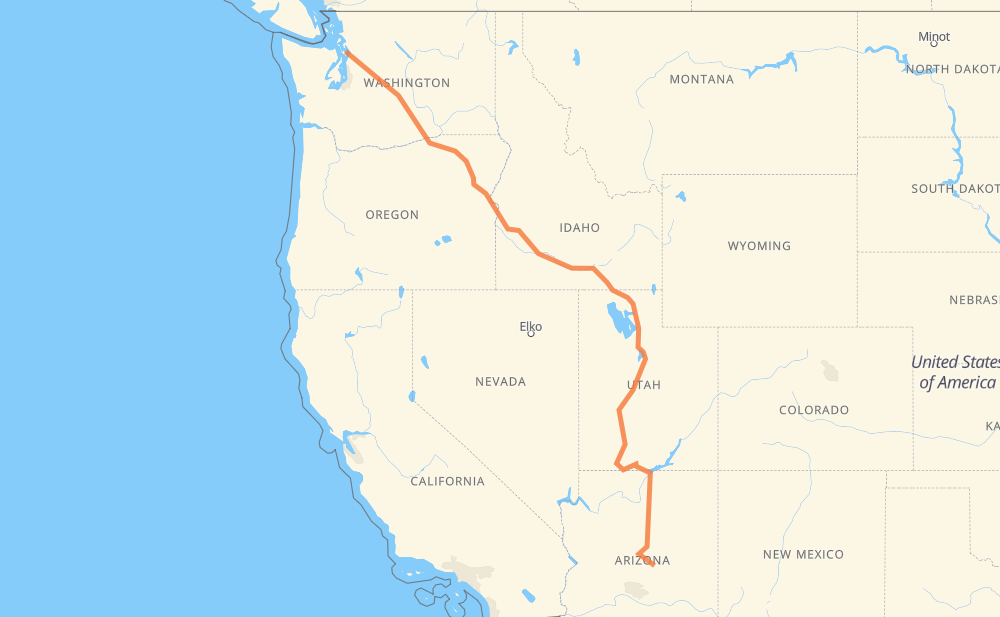
The distance from Payson to Langley is 2,400 kilometers by road including 1,731 kilometers on motorways. Road takes approximately 23 hours and 45 minutes and goes through Flagstaff, Provo, Salt Lake City, Ogden, Yakima and Bellevue.
How much does it cost to drive from Payson to Langley?
Fuel cost:
286.1 GBP
This fuel cost is calculated as: (Route length 2,400 km / 100 km) * (Fuel consumption 8 L/100 km) * (Fuel price 1.49 GBP / L)
You can adjust fuel consumption and fuel price here.
How long is a car ride from Payson to Langley?
Driving time:
23 h 45 min
This time is calculated for driving at the maximum permitted speed, taking into account traffic rules restrictions.
1,321 km with a maximum speed 112 km/h = 11 h 47 min
107 km with a maximum speed 105 km/h = 1 h 1 min
130 km with a maximum speed 100 km/h = 1 h 17 min
67 km with a maximum speed 97 km/h = 41 min
473 km with a maximum speed 96 km/h = 4 h 55 min
99 km with a maximum speed 89 km/h = 1 h 7 min
22 km with a maximum speed 80 km/h = 16 min
123 km with a maximum speed 80 km/h = 1 h 32 min
20 km with a maximum speed 72 km/h = 16 min
15 km with a maximum speed 64 km/h = 13 min
15 km with a maximum speed 56 km/h = 15 min
1 km with a maximum speed 48 km/h = 1 min
3 km with a maximum speed 40 km/h = 4 min
4 km with a maximum speed 20 km/h = 13 min
The calculated driving time does not take into account intermediate stops and traffic jams.
How far is Payson to Langley by land?
The distance between Payson and Langley is 2,400 km by road including 1,731 km on motorways.
Precise satellite coordinates of highways were used for this calculation. The start and finish points are the centers of Payson and Langley respectively.
How far is Payson to Langley by plane?
The shortest distance (air line, as the crow flies) between Payson and Langley is 1,791 km.
This distance is calculated using the Haversine formula as a great-circle distance between two points on the surface of a sphere. The start and finish points are the centers of Payson and Langley respectively. Actual distance between airports may be different.
How many hours is Payson from Langley by plane?
Boeing 737 airliner needs 2 h 14 min to cover the distance of 1,791 km at a cruising speed of 800 km/h.
Small plane "Cessna 172" needs 8 h 8 min to flight this distance at average speed of 220 km/h.
This time is approximate and do not take into account takeoff and landing times, airport location and other real world factors.
How long is a helicopter ride from Payson to Langley?
Fast helicopter "Eurocopter AS350" or "Hughes OH-6 Cayuse" need 7 h 27 min to cover the distance of 1,791 km at a cruising speed of 240 km/h.
Popular "Robinson R44" needs 8 h 31 min to flight this distance at average speed of 210 km/h.
This time is approximate and do not take into account takeoff and landing times, aerodrome location and other real world factors.
What city is halfway between Payson and Langley?
The halfway point between Payson and Langley is Snowville. It is located about 14 km from the exact midpoint by road.
The distance from Snowville to Payson is 1,186 km and driving will take about 11 h 48 min. The road between Snowville and Langley has length 1,214 km and will take approximately 11 h 57 min.