Distance between San Isidro and Nochistlán de Mejía
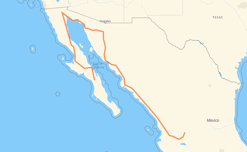
The distance from San Isidro to Nochistlán de Mejía is 3,139 kilometers by road including 1,490 kilometers on motorways. Road takes approximately 37 hours and 3 minutes and goes through Heroica Caborca, Hermosillo, Navojoa, Los Mochis, Gabriel Leyva Solano, Dimas (Estación Dimas) and Tepic.
| Shortest distance by air | 1,078 km ✈️ |
| Car route length | 3,139 km 🚗 |
| Driving time | 37 h 3 min |
| Fuel amount | 251.1 L |
| Fuel cost | 371.7 GBP |
| Toll roads cost | 1,768 + ? MXN |
| Point | Distance | Time | Fuel | |
| San Isidro | 0 km | 00 min | 0.0 L | |
|
BCS 53 MEX 1 140 km, 1 h 30 min
|
||||
| Mulegé | 140 km | 1 h 30 min | 10.0 L | |
|
MEX 1 1,247 km, 16 h 10 min
|
||||
| Heroica Caborca | 1,387 km | 17 h 40 min | 110.3 L | |
|
MEX 2 MEX 15D 272 km, 2 h 49 min
|
||||
| Hermosillo | 1,659 km | 20 h 30 min | 132.5 L | |
|
MEX 15 MEX 15D 323 km, 3 h 28 min
|
||||
| Navojoa | 1,982 km | 23 h 59 min | 158.1 L | |
|
MEX 15D 159 km, 1 h 55 min
|
||||
| Los Mochis | 2,141 km | 25 h 54 min | 171.0 L | |
|
MEX 15D 44 km, 31 min
|
||||
| Gabriel Leyva Solano | 2,184 km | 26 h 26 min | 173.8 L | |
|
MEX 15D 289 km, 3 h 09 min
|
||||
| Dimas (Estación Dimas) | 2,474 km | 29 h 35 min | 196.8 L | |
|
MEX 15D 334 km, 3 h 38 min
|
||||
| Tepic | 2,807 km | 33 h 14 min | 223.9 L | |
|
MEX 15D 347 km, 3 h 48 min
|
||||
| Nochistlán de Mejía | 3,154 km | 37 h 02 min | 251.9 L | |
Frequently Asked Questions
How many toll booths are there from San Isidro to Nochistlán de Mejía?
There are 19 toll booths between San Isidro and Nochistlán de Mejía: Santa Ana, Hermosillo, Guaymas, Libramiento Cd Obregon, Fundicion, Estacion Don La Jaula, San Miguel, Sinaloa, Las Brisas, San Pedro km 197+100, Costa Rica, Marmol, El Rosario, Ruiz, Trapichillo, Santa Maria del Oro, Plan de Barrancas, Arenal and El Pisal.
How much does the toll booths cost from San Isidro to Nochistlán de Mejía?
Toll roads cost: Santa Ana (120 MXN) + Hermosillo (90 MXN) + Guaymas (38 MXN) + Libramiento Cd Obregon (?) + Fundicion (90 MXN) + Estacion Don La Jaula (90 MXN) + San Miguel (69 MXN) + Sinaloa (24 MXN) + Las Brisas (76 MXN) + El Pisal (73 MXN) + San Pedro km 197+100 (34 MXN) + Costa Rica (152 MXN) + Marmol (131 MXN) + El Rosario (140 MXN) + Ruiz (120 MXN) + Trapichillo (80 MXN) + Santa Maria del Oro (115 MXN) + Plan de Barrancas (195 MXN) + Arenal (131 MXN) = 1,768 + ? MXN
How much does it cost to drive from San Isidro to Nochistlán de Mejía?
Fuel cost: 371.7 GBP
This fuel cost is calculated as: (Route length 3,139 km / 100 km) * (Fuel consumption 8 L/100 km) * (Fuel price 1.48 GBP / L)
You can adjust fuel consumption and fuel price here.
Toll roads cost: 1,768 + ? MXN
How long is a car ride from San Isidro to Nochistlán de Mejía?
Driving time: 37 h 3 min
This time is calculated for driving at the maximum permitted speed, taking into account traffic rules restrictions.
- 390 km with a maximum speed 110 km/h = 3 h 32 min
- 551 km with a maximum speed 100 km/h = 5 h 30 min
- 604 km with a maximum speed 96 km/h = 6 h 17 min
- 454 km with a maximum speed 90 km/h = 5 h 2 min
- 956 km with a maximum speed 80 km/h = 11 h 57 min
- 105 km with a maximum speed 70 km/h = 1 h 30 min
- 40 km with a maximum speed 60 km/h = 40 min
- 4 km with a maximum speed 50 km/h = 4 min
- 2 km with a maximum speed 40 km/h = 3 min
- 46 km with a maximum speed 20 km/h = 2 h 18 min
- 1 km with a maximum speed 10 km/h = 6 min
The calculated driving time does not take into account intermediate stops and traffic jams.
How far is San Isidro to Nochistlán de Mejía by land?
The distance between San Isidro and Nochistlán de Mejía is 3,139 km by road including 1,490 km on motorways.
Precise satellite coordinates of highways were used for this calculation. The start and finish points are the centers of San Isidro and Nochistlán de Mejía respectively.
How far is San Isidro to Nochistlán de Mejía by plane?
The shortest distance (air line, as the crow flies) between San Isidro and Nochistlán de Mejía is 1,078 km.
This distance is calculated using the Haversine formula as a great-circle distance between two points on the surface of a sphere. The start and finish points are the centers of San Isidro and Nochistlán de Mejía respectively. Actual distance between airports may be different.
How many hours is San Isidro from Nochistlán de Mejía by plane?
Boeing 737 airliner needs 1 h 20 min to cover the distance of 1,078 km at a cruising speed of 800 km/h.
Small plane "Cessna 172" needs 4 h 54 min to flight this distance at average speed of 220 km/h.
This time is approximate and do not take into account takeoff and landing times, airport location and other real world factors.
How long is a helicopter ride from San Isidro to Nochistlán de Mejía?
Fast helicopter "Eurocopter AS350" or "Hughes OH-6 Cayuse" need 4 h 29 min to cover the distance of 1,078 km at a cruising speed of 240 km/h.
Popular "Robinson R44" needs 5 h 8 min to flight this distance at average speed of 210 km/h.
This time is approximate and do not take into account takeoff and landing times, aerodrome location and other real world factors.
What city is halfway between San Isidro and Nochistlán de Mejía?
The halfway point between San Isidro and Nochistlán de Mejía is Granja Avicola (El Oasis). It is located about 13 km from the exact midpoint by road.
The distance from Granja Avicola (El Oasis) to San Isidro is 1,583 km and driving will take about 19 h 42 min. The road between Granja Avicola (El Oasis) and Nochistlán de Mejía has length 1,556 km and will take approximately 17 h 20 min.
The other cities located close to halfway point:
Where is San Isidro in relation to Nochistlán de Mejía?
San Isidro is located 1,078 km north-west of Nochistlán de Mejía.
San Isidro has geographic coordinates: latitude 26.21661, longitude -112.01982.
Nochistlán de Mejía has geographic coordinates: latitude 21.3641, longitude -102.84698.
Which highway goes from San Isidro to Nochistlán de Mejía?
The route from San Isidro to Nochistlán de Mejía follows MEX 15D, MEX 1, MEX 5, SON 003, BC 5, SON 3.
Other minor sections pass along the road:
- MEX 2D: 75 km
- SON 44: 61 km
- MEX 54: 40 km
- MEX 15: 36 km
- MEX 2: 29 km
- BCS 53: 27 km
- BC 4: 27 km
- JAL 205: 25 km
- MEX 70: 13 km
- MEX 90: 13 km
- JAL 201: 13 km
- BC 41: 7 km
- MEX 71: 4 km
- SON 34: 3 km
- MEX 15d: 3 km
- JAL 205: Carretera Yahualica - Teocaltiche: 2 km
- 201: 2 km