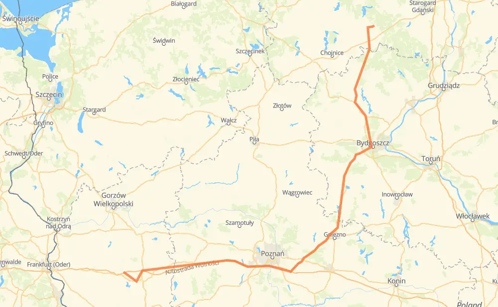
The distance from Selchow to Odry is 359 kilometers by road including 113 kilometers on motorways. Road takes approximately 4 hours and 19 minutes and goes through Schwiebus, Fabianowo-Kotowo, Zielony Dębiec, Spławie, Kostschin, Schubin and Błonie.
How much does it cost to drive from Selchow to Odry?
Fuel cost:
42.8 GBP
This fuel cost is calculated as: (Route length 359 km / 100 km) * (Fuel consumption 8 L/100 km) * (Fuel price 1.49 GBP / L)
You can adjust fuel consumption and fuel price here.
How long is a car ride from Selchow to Odry?
Driving time:
4 h 19 min
This time is calculated for driving at the maximum permitted speed, taking into account traffic rules restrictions.
110 km with a maximum speed 112 km/h = 58 min
88 km with a maximum speed 96 km/h = 55 min
72 km with a maximum speed 90 km/h = 48 min
11 km with a maximum speed 80 km/h = 7 min
30 km with a maximum speed 70 km/h = 25 min
2 km with a maximum speed 60 km/h = 2 min
36 km with a maximum speed 50 km/h = 43 min
7 km with a maximum speed 40 km/h = 11 min
2 km with a maximum speed 20 km/h = 6 min
The calculated driving time does not take into account intermediate stops and traffic jams.
How far is Selchow to Odry by land?
The distance between Selchow and Odry is 359 km by road including 113 km on motorways.
Precise satellite coordinates of highways were used for this calculation. The start and finish points are the centers of Selchow and Odry respectively.
How far is Selchow to Odry by plane?
The shortest distance (air line, as the crow flies) between Selchow and Odry is 250 km.
This distance is calculated using the Haversine formula as a great-circle distance between two points on the surface of a sphere. The start and finish points are the centers of Selchow and Odry respectively. Actual distance between airports may be different.
How many hours is Selchow from Odry by plane?
Boeing 737 airliner needs 18 min to cover the distance of 250 km at a cruising speed of 800 km/h.
Small plane "Cessna 172" needs 1 h 8 min to flight this distance at average speed of 220 km/h.
This time is approximate and do not take into account takeoff and landing times, airport location and other real world factors.
How long is a helicopter ride from Selchow to Odry?
Fast helicopter "Eurocopter AS350" or "Hughes OH-6 Cayuse" need 1 h 2 min to cover the distance of 250 km at a cruising speed of 240 km/h.
Popular "Robinson R44" needs 1 h 11 min to flight this distance at average speed of 210 km/h.
This time is approximate and do not take into account takeoff and landing times, aerodrome location and other real world factors.
What city is halfway between Selchow and Odry?
The halfway point between Selchow and Odry is Pyszczynek.
The distance from Pyszczynek to Selchow is 179 km and driving will take about 1 h 49 min. The road between Pyszczynek and Odry has length 180 km and will take approximately 2 h 29 min.
The other cities located close to halfway point:
Krzyszczewo is in 180 km from Selchow and 179 km from Odry
Łabiszynek is in 185 km from Selchow and 174 km from Odry
Woźniki is in 172 km from Selchow and 188 km from Odry
Where is Selchow in relation to Odry?
Selchow is located 250 km south-west of Odry.
Selchow has geographic coordinates: latitude 52.31451, longitude 15.34746.
Odry has geographic coordinates: latitude 53.88971, longitude 18.01847.