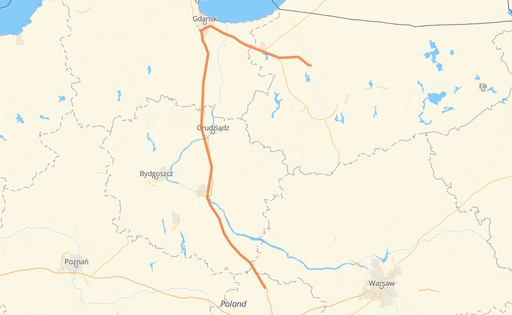
The distance from Sokół to Liebstadt is 372 kilometers by road including 255 kilometers on motorways. Road takes approximately 3 hours and 46 minutes and goes through Praust, Orunia - Święty Wojciech - Lipce, Nowy Dwór Gdański and Preußisch Holland.
How much does it cost to drive from Sokół to Liebstadt?
Fuel cost:
44.3 GBP
This fuel cost is calculated as: (Route length 372 km / 100 km) * (Fuel consumption 8 L/100 km) * (Fuel price 1.49 GBP / L)
You can adjust fuel consumption and fuel price here.
How long is a car ride from Sokół to Liebstadt?
Driving time:
3 h 46 min
This time is calculated for driving at the maximum permitted speed, taking into account traffic rules restrictions.
240 km with a maximum speed 112 km/h = 2 h 8 min
12 km with a maximum speed 100 km/h = 7 min
78 km with a maximum speed 96 km/h = 48 min
15 km with a maximum speed 90 km/h = 9 min
1 km with a maximum speed 80 km/h = 1 min
22 km with a maximum speed 50 km/h = 26 min
3 km with a maximum speed 40 km/h = 3 min
The calculated driving time does not take into account intermediate stops and traffic jams.
How far is Sokół to Liebstadt by land?
The distance between Sokół and Liebstadt is 372 km by road including 255 km on motorways.
Precise satellite coordinates of highways were used for this calculation. The start and finish points are the centers of Sokół and Liebstadt respectively.
How far is Sokół to Liebstadt by plane?
The shortest distance (air line, as the crow flies) between Sokół and Liebstadt is 203 km.
This distance is calculated using the Haversine formula as a great-circle distance between two points on the surface of a sphere. The start and finish points are the centers of Sokół and Liebstadt respectively. Actual distance between airports may be different.
How many hours is Sokół from Liebstadt by plane?
Boeing 737 airliner needs 15 min to cover the distance of 203 km at a cruising speed of 800 km/h.
Small plane "Cessna 172" needs 55 min to flight this distance at average speed of 220 km/h.
This time is approximate and do not take into account takeoff and landing times, airport location and other real world factors.
How long is a helicopter ride from Sokół to Liebstadt?
Fast helicopter "Eurocopter AS350" or "Hughes OH-6 Cayuse" need 50 min to cover the distance of 203 km at a cruising speed of 240 km/h.
Popular "Robinson R44" needs 58 min to flight this distance at average speed of 210 km/h.
This time is approximate and do not take into account takeoff and landing times, aerodrome location and other real world factors.
What city is halfway between Sokół and Liebstadt?
The halfway point between Sokół and Liebstadt is Rudawki. It is located about 3 km from the exact midpoint by road.
The distance from Rudawki to Sokół is 189 km and driving will take about 1 h 42 min. The road between Rudawki and Liebstadt has length 183 km and will take approximately 2 h 4 min.
The other cities located close to halfway point:
Płochocinek is in 181 km from Sokół and 191 km from Liebstadt
Bąkowo is in 179 km from Sokół and 193 km from Liebstadt
Rulewo is in 175 km from Sokół and 197 km from Liebstadt
Where is Sokół in relation to Liebstadt?
Sokół is located 203 km south-west of Liebstadt.
Sokół has geographic coordinates: latitude 52.22076, longitude 19.45727.
Liebstadt has geographic coordinates: latitude 54.01017, longitude 20.07112.