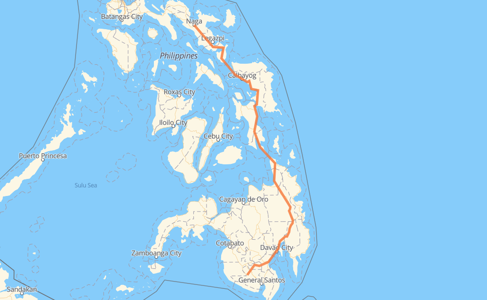
The distance from Surallah to Naga is 1,250 kilometers by road. Road takes approximately 18 hours and 31 minutes and goes through Koronadal, Davao City, Bayugan, Surigao City, Tacloban, Catbalogan and Calbayog.
How much does it cost to drive from Surallah to Naga?
Fuel cost:
149 GBP
This fuel cost is calculated as: (Route length 1,250 km / 100 km) * (Fuel consumption 8 L/100 km) * (Fuel price 1.49 GBP / L)
You can adjust fuel consumption and fuel price here.
How long is a car ride from Surallah to Naga?
Driving time:
18 h 31 min
This time is calculated for driving at the maximum permitted speed, taking into account traffic rules restrictions.
188 km with a maximum speed 96 km/h = 1 h 57 min
5 km with a maximum speed 90 km/h = 3 min
746 km with a maximum speed 80 km/h = 9 h 19 min
9 km with a maximum speed 70 km/h = 7 min
195 km with a maximum speed 60 km/h = 3 h 15 min
54 km with a maximum speed 50 km/h = 1 h 4 min
10 km with a maximum speed 40 km/h = 15 min
3 km with a maximum speed 30 km/h = 6 min
47 km with a maximum speed 20 km/h = 2 h 21 min
The calculated driving time does not take into account intermediate stops and traffic jams.
How far is Surallah to Naga by land?
The distance between Surallah and Naga is 1,250 km by road.
Precise satellite coordinates of highways were used for this calculation. The start and finish points are the centers of Surallah and Naga respectively.
How far is Surallah to Naga by plane?
The shortest distance (air line, as the crow flies) between Surallah and Naga is 824 km.
This distance is calculated using the Haversine formula as a great-circle distance between two points on the surface of a sphere. The start and finish points are the centers of Surallah and Naga respectively. Actual distance between airports may be different.
How many hours is Surallah from Naga by plane?
Boeing 737 airliner needs 1 h 1 min to cover the distance of 824 km at a cruising speed of 800 km/h.
Small plane "Cessna 172" needs 3 h 44 min to flight this distance at average speed of 220 km/h.
This time is approximate and do not take into account takeoff and landing times, airport location and other real world factors.
How long is a helicopter ride from Surallah to Naga?
Fast helicopter "Eurocopter AS350" or "Hughes OH-6 Cayuse" need 3 h 26 min to cover the distance of 824 km at a cruising speed of 240 km/h.
Popular "Robinson R44" needs 3 h 55 min to flight this distance at average speed of 210 km/h.
This time is approximate and do not take into account takeoff and landing times, aerodrome location and other real world factors.
What city is halfway between Surallah and Naga?
The halfway point between Surallah and Naga is Liloan. It is located about 2 km from the exact midpoint by road.
The distance from Liloan to Surallah is 627 km and driving will take about 9 h 18 min. The road between Liloan and Naga has length 624 km and will take approximately 9 h 12 min.
The other cities located close to halfway point:
Sudmon is in 620 km from Surallah and 630 km from Naga
Santa Cruz is in 618 km from Surallah and 632 km from Naga
President Roxas is in 636 km from Surallah and 615 km from Naga
Where is Surallah in relation to Naga?
Surallah is located 824 km south of Naga.
Surallah has geographic coordinates: latitude 6.37561, longitude 124.74725.
Naga has geographic coordinates: latitude 13.62401, longitude 123.18503.