Distance between Terranuova Bracciolini and Agrigent
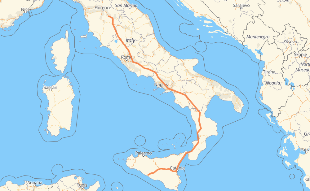
The distance from Terranuova Bracciolini to Agrigent is 1,163 kilometers by road including 1,083 kilometers on motorways. Road takes approximately 11 hours and 52 minutes and goes through Arezzo, Rome, Salerne, Cosenza, Regio de Calabria, Mesina and Catania.
How much does it cost to drive from Terranuova Bracciolini to Agrigent?
Fuel cost:
137.7 GBP
This fuel cost is calculated as: (Route length 1,163 km / 100 km) * (Fuel consumption 8 L/100 km) * (Fuel price 1.48 GBP / L)
You can adjust fuel consumption and fuel price here.
How long is a car ride from Terranuova Bracciolini to Agrigent?
Driving time:
11 h 52 min
This time is calculated for driving at the maximum permitted speed, taking into account traffic rules restrictions.
826 km with a maximum speed 112 km/h = 7 h 22 min
3 km with a maximum speed 110 km/h = 1 min
83 km with a maximum speed 100 km/h = 49 min
33 km with a maximum speed 96 km/h = 20 min
160 km with a maximum speed 80 km/h = 2 h
30 km with a maximum speed 60 km/h = 29 min
13 km with a maximum speed 50 km/h = 15 min
7 km with a maximum speed 40 km/h = 10 min
1 km with a maximum speed 30 km/h = 1 min
6 km with a maximum speed 20 km/h = 19 min
The calculated driving time does not take into account intermediate stops and traffic jams.
How far is Terranuova Bracciolini to Agrigent by land?
The distance between Terranuova Bracciolini and Agrigent is 1,163 km by road including 1,083 km on motorways.
Precise satellite coordinates of highways were used for this calculation. The start and finish points are the centers of Terranuova Bracciolini and Agrigent respectively.
How far is Terranuova Bracciolini to Agrigent by plane?
The shortest distance (air line, as the crow flies) between Terranuova Bracciolini and Agrigent is 714 km.
This distance is calculated using the Haversine formula as a great-circle distance between two points on the surface of a sphere. The start and finish points are the centers of Terranuova Bracciolini and Agrigent respectively. Actual distance between airports may be different.
How many hours is Terranuova Bracciolini from Agrigent by plane?
Boeing 737 airliner needs 53 min to cover the distance of 714 km at a cruising speed of 800 km/h.
Small plane "Cessna 172" needs 3 h 14 min to flight this distance at average speed of 220 km/h.
This time is approximate and do not take into account takeoff and landing times, airport location and other real world factors.
How long is a helicopter ride from Terranuova Bracciolini to Agrigent?
Fast helicopter "Eurocopter AS350" or "Hughes OH-6 Cayuse" need 2 h 58 min to cover the distance of 714 km at a cruising speed of 240 km/h.
Popular "Robinson R44" needs 3 h 24 min to flight this distance at average speed of 210 km/h.
This time is approximate and do not take into account takeoff and landing times, aerodrome location and other real world factors.
What city is halfway between Terranuova Bracciolini and Agrigent?
The halfway point between Terranuova Bracciolini and Agrigent is Casalbuono. It is located about 1 km from the exact midpoint by road.
The distance from Casalbuono to Terranuova Bracciolini is 580 km and driving will take about 5 h 15 min. The road between Casalbuono and Agrigent has length 583 km and will take approximately 6 h 36 min.
The other cities located close to halfway point:
Lagonegro is in 592 km from Terranuova Bracciolini and 571 km from Agrigent
Sala Consilina is in 557 km from Terranuova Bracciolini and 606 km from Agrigent
Lauria is in 608 km from Terranuova Bracciolini and 555 km from Agrigent
Where is Terranuova Bracciolini in relation to Agrigent?
Terranuova Bracciolini is located 714 km north-west of Agrigent.
Terranuova Bracciolini has geographic coordinates: latitude 43.55121, longitude 11.58583.
Agrigent has geographic coordinates: latitude 37.3123, longitude 13.57465.
Which highway goes from Terranuova Bracciolini to Agrigent?
The route from Terranuova Bracciolini to Agrigent follows A2, A1.