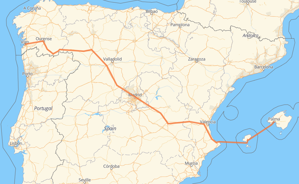
The distance from Vigo to Palma is 1,297 kilometers by road including 1,016 kilometers on motorways. Road takes approximately 22 hours and 41 minutes and goes through Ourense, Santa Eulalia de Batalláns, A Franqueira, Villalpando, Tordesillas, Arévalo and Urbanización Coto de San Isidro.
How much does it cost to drive from Vigo to Palma?
Fuel cost:
154.6 GBP
This fuel cost is calculated as: (Route length 1,297 km / 100 km) * (Fuel consumption 8 L/100 km) * (Fuel price 1.49 GBP / L)
You can adjust fuel consumption and fuel price here.
How long is a car ride from Vigo to Palma?
Driving time:
22 h 41 min
This time is calculated for driving at the maximum permitted speed, taking into account traffic rules restrictions.
761 km with a maximum speed 112 km/h = 6 h 47 min
196 km with a maximum speed 100 km/h = 1 h 57 min
6 km with a maximum speed 96 km/h = 4 min
11 km with a maximum speed 90 km/h = 7 min
48 km with a maximum speed 80 km/h = 35 min
1 km with a maximum speed 70 km/h = 1 min
3 km with a maximum speed 60 km/h = 3 min
14 km with a maximum speed 50 km/h = 16 min
1 km with a maximum speed 40 km/h = 2 min
255 km with a maximum speed 20 km/h = 12 h 45 min
The calculated driving time does not take into account intermediate stops and traffic jams.
How far is Vigo to Palma by land?
The distance between Vigo and Palma is 1,297 km by road including 1,016 km on motorways.
Precise satellite coordinates of highways were used for this calculation. The start and finish points are the centers of Vigo and Palma respectively.
How far is Vigo to Palma by plane?
The shortest distance (air line, as the crow flies) between Vigo and Palma is 1,000 km.
This distance is calculated using the Haversine formula as a great-circle distance between two points on the surface of a sphere. The start and finish points are the centers of Vigo and Palma respectively. Actual distance between airports may be different.
How many hours is Vigo from Palma by plane?
Boeing 737 airliner needs 1 h 15 min to cover the distance of 1,000 km at a cruising speed of 800 km/h.
Small plane "Cessna 172" needs 4 h 32 min to flight this distance at average speed of 220 km/h.
This time is approximate and do not take into account takeoff and landing times, airport location and other real world factors.
How long is a helicopter ride from Vigo to Palma?
Fast helicopter "Eurocopter AS350" or "Hughes OH-6 Cayuse" need 4 h 10 min to cover the distance of 1,000 km at a cruising speed of 240 km/h.
Popular "Robinson R44" needs 4 h 45 min to flight this distance at average speed of 210 km/h.
This time is approximate and do not take into account takeoff and landing times, aerodrome location and other real world factors.
What city is halfway between Vigo and Palma?
The halfway point between Vigo and Palma is La Varga. It is located about 2 km from the exact midpoint by road.
The distance from La Varga to Vigo is 646 km and driving will take about 6 h 10 min. The road between La Varga and Palma has length 651 km and will take approximately 16 h 30 min.
The other cities located close to halfway point:
Fuentidueña de Tajo is in 653 km from Vigo and 644 km from Palma
Villarejo de Salvanés is in 640 km from Vigo and 657 km from Palma
Belinchón is in 665 km from Vigo and 632 km from Palma
Where is Vigo in relation to Palma?
Vigo is located 1,000 km west of Palma.
Vigo has geographic coordinates: latitude 42.23766, longitude -8.72472.
Palma has geographic coordinates: latitude 39.56958, longitude 2.65007.
Which highway goes from Vigo to Palma?
The route from Vigo to Palma follows A-3, A-52, A-6.