Distance between Bishop’s Waltham and North Kessock
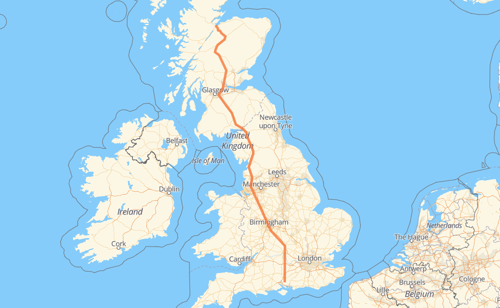
The distance from Bishop’s Waltham to North Kessock is 927 kilometers by road including 594 kilometers on motorways. Road takes approximately 9 hours and 1 minute and goes through Winchester, Birmingham, Carlisle, Lower Wolvercote, Bentley, Penkridge and Sandbach Heath.
How much does it cost to drive from Bishop’s Waltham to North Kessock?
Fuel cost:
109.8 GBP
This fuel cost is calculated as: (Route length 927 km / 100 km) * (Fuel consumption 8 L/100 km) * (Fuel price 1.48 GBP / L)
You can adjust fuel consumption and fuel price here.
How long is a car ride from Bishop’s Waltham to North Kessock?
Driving time:
9 h 1 min
This time is calculated for driving at the maximum permitted speed, taking into account traffic rules restrictions.
549 km with a maximum speed 112 km/h = 4 h 53 min
21 km with a maximum speed 100 km/h = 12 min
312 km with a maximum speed 96 km/h = 3 h 14 min
10 km with a maximum speed 80 km/h = 7 min
24 km with a maximum speed 80 km/h = 17 min
3 km with a maximum speed 64 km/h = 3 min
9 km with a maximum speed 48 km/h = 10 min
1 km with a maximum speed 32 km/h = 1 min
The calculated driving time does not take into account intermediate stops and traffic jams.
How far is Bishop’s Waltham to North Kessock by land?
The distance between Bishop’s Waltham and North Kessock is 927 km by road including 594 km on motorways.
Precise satellite coordinates of highways were used for this calculation. The start and finish points are the centers of Bishop’s Waltham and North Kessock respectively.
How far is Bishop’s Waltham to North Kessock by plane?
The shortest distance (air line, as the crow flies) between Bishop’s Waltham and North Kessock is 754 km.
This distance is calculated using the Haversine formula as a great-circle distance between two points on the surface of a sphere. The start and finish points are the centers of Bishop’s Waltham and North Kessock respectively. Actual distance between airports may be different.
How many hours is Bishop’s Waltham from North Kessock by plane?
Boeing 737 airliner needs 56 min to cover the distance of 754 km at a cruising speed of 800 km/h.
Small plane "Cessna 172" needs 3 h 25 min to flight this distance at average speed of 220 km/h.
This time is approximate and do not take into account takeoff and landing times, airport location and other real world factors.
How long is a helicopter ride from Bishop’s Waltham to North Kessock?
Fast helicopter "Eurocopter AS350" or "Hughes OH-6 Cayuse" need 3 h 8 min to cover the distance of 754 km at a cruising speed of 240 km/h.
Popular "Robinson R44" needs 3 h 35 min to flight this distance at average speed of 210 km/h.
This time is approximate and do not take into account takeoff and landing times, aerodrome location and other real world factors.
What city is halfway between Bishop’s Waltham and North Kessock?
The halfway point between Bishop’s Waltham and North Kessock is Tebay. It is located about 7 km from the exact midpoint by road.
The distance from Tebay to Bishop’s Waltham is 471 km and driving will take about 4 h 29 min. The road between Tebay and North Kessock has length 457 km and will take approximately 4 h 31 min.
The other cities located close to halfway point:
Little Strickland is in 483 km from Bishop’s Waltham and 444 km from North Kessock
Holme is in 439 km from Bishop’s Waltham and 488 km from North Kessock
Lowther is in 492 km from Bishop’s Waltham and 435 km from North Kessock
Where is Bishop’s Waltham in relation to North Kessock?
Bishop’s Waltham is located 754 km south-east of North Kessock.
Bishop’s Waltham has geographic coordinates: latitude 50.95489, longitude -1.214.
North Kessock has geographic coordinates: latitude 57.50128, longitude -4.24432.
Which highway goes from Bishop’s Waltham to North Kessock?
The route from Bishop’s Waltham to North Kessock follows M6, A9, A34.